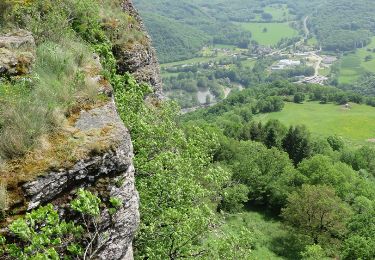
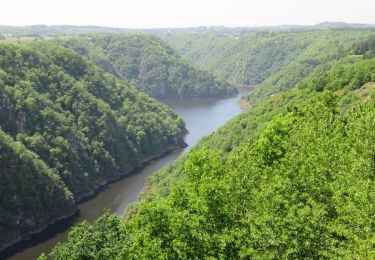
Trail Walking Sarroux - Saint-Julien - Un air de montagne - Sarroux - Photo

Un air de montagne - Sarroux

 tracegps
tracegps

User

© OpenStreetMap contributors
Length
Length
16 km
Max alt
Max alt
829 m
Uphill gradient
Uphill gradient
361 m
Km-Effort
Km-Effort  
21 km
Min alt
Min alt
603 m
Downhill gradient
Downhill gradient
361 m
Boucle
Boucle
Yes
Creation date :
2014-12-10 00:00:00.0
Updated on :
2014-12-10 00:00:00.0

(1 Reviews)

Walking
Walking
4h30
Difficulty : Medium

Scan this QR Code to open this trail in the SityTrail application

FREE GPS app for hiking

Logo SityTrail SityTrail

IGN / Geographical institutes

Download SityTrail from the App Store Download SityTrail from Google Play

Logo SityTrail SityTrail World

The world is yours!

Download SityTrail from the App Store Download SityTrail from Google Play Download SityTrail on Huawei AppGallery

About

Trail Walking of 16 km to be discovered at New Aquitaine, Corrèze, Sarroux - Saint-Julien. This trail is proposed by tracegps.

Description

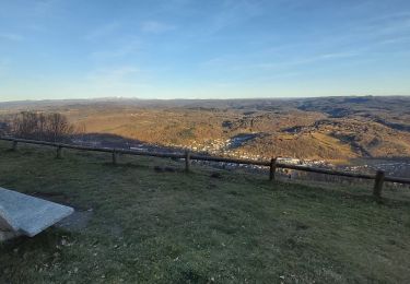
Vous êtes ici au sein de la commune la plus élevée du Plateau Bortois. Pour commencer, arpentez le coquet village de Sarroux. Après cette balade en douceur, entamez l'ascension du point culminant de la commune : le puy de Bort (859m). Vos efforts seront récompensés par le plus beau point de vue sur les deux géants auvergnat du Puy de Sancy et du Puy Mary. La fin du parcours laisse place à l'histoire avec les deux frères ennemis des châteaux de Val et de Pierrefitte, qui dressent fièrement leur tour l'une face à l'autre avec la Dordogne pour frontière. Téléchargez la fiche du circuit sur le site du Tourisme en Limousin.

Elevation profile

Photos

Positioning

Country:
France
Region :
New Aquitaine
Department/Province :
Corrèze
Municipality :
Sarroux - Saint-Julien
Location:
Sarroux
Start:(UTM)
455419 ; 5029073 (31T) N.

Comments

Please log in to post a review or rate the element


Un très bel assortiment de champs, prairies, bois et forêts exploitées, sur pistes, sentiers et chemins goudronnés. L'essentiel de l'effort est en début de parcours.


Trails nearby

Trail Walking Sarroux - Saint-Julien - La Pyramide, le château Pierrefitte, les Orgues - Photo
Walking
grageot

Walking

Easy
(2)
Sarroux - Saint-Julien, New Aquitaine, Corrèze, France
15.6 km | 23 km-effort
4h 28min
Yes
Trail Walking Bort-les-Orgues - Les Orgues de Bort Les O. - Photo
Walking
Indi34

Walking

Easy
(3)
Bort-les-Orgues, New Aquitaine, Corrèze, France
4.6 km | 7 km-effort
1h 17min
Yes
Trail Walking Bort-les-Orgues - Les Orgues  - Photo
Walking
FOUCAULT

Walking

Bort-les-Orgues, New Aquitaine, Corrèze, France
5.1 km | 7.3 km-effort
2h 14min
Yes
Trail Walking Sarroux - Saint-Julien - le site de Saint-Nazaire - Photo
Walking
viam19

Walking

Easy
Sarroux - Saint-Julien, New Aquitaine, Corrèze, France
14.2 km | 17.6 km-effort
5h 36min
Yes
Trail Walking Bort-les-Orgues - 20210613 Bort Les Orgues - Photo
Walking
Childebert

Walking

Medium
Bort-les-Orgues, New Aquitaine, Corrèze, France
7.5 km | 12.3 km-effort
4h 18min
Yes
Trail Walking Bort-les-Orgues - Bort-les-Orgues - Photo
Walking
houbart

Walking

Medium
Bort-les-Orgues, New Aquitaine, Corrèze, France
5 km | 7.2 km-effort
1h 37min
Yes
Trail Walking Sarroux - Saint-Julien - Saint-Julien-près-Bort - Photo
Walking
houbart

Walking

Easy
Sarroux - Saint-Julien, New Aquitaine, Corrèze, France
5.1 km | 6.3 km-effort
1h 23min
Yes
Trail Walking Bort-les-Orgues - SityTrail - Bort-les-Orgues - Photo
Walking
vitius

Walking

Medium
Bort-les-Orgues, New Aquitaine, Corrèze, France
5.2 km | 7.6 km-effort
1h 43min
Yes
Trail Walking Margerides - margerides Fred B C - Photo
Walking
arnoultjf

Walking

Medium
Margerides, New Aquitaine, Corrèze, France
9 km | 11.7 km-effort
2h 39min
Yes


Close
My subscriptions